
| MAP DETAILS |
New
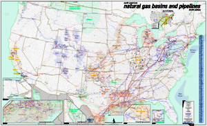
to the Platts arsenal of maps, the North American Natural Gas Basins
and Pipelines map highlights the production side of the natural gas
industry. For anyone interested in the exploration of natural gas,
this map shows the principle sedimentary basins in both the U.S. and
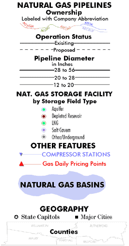
Canada. Over 230,000 miles of pipelines with a diameter of 12 inches
or more are displayed by pipeline ownership and are labeled by company
abbreviation. The gas storage facilities are symbolized by storage
type to make them easy to distinguish between the various types. This
eye catching 36" x 60.5" map is a must have for anyone
interested in the supply of natural gas.
- 230,000
miles of pipelines with a diameter of 12 inches or more
- Over
1,500 compressor stations
- Gas
basins labeled by name
- 428
gas storage facilities (Underground and LNG)
- 118
Gas Daily pricing points
- Insets
of Alaska, Western Canada, and gas-intensive areas such as the
Gulf of Mexico
- Counties
(U.S. and Canada)